Geohazards Assessment and Design
For abandoned mine lands, landslides, slope stability, karst topography, or subsurface void conditions.
Brierley Associates provides integrated geohazard services focused on the identification, evaluation, and mitigation of natural and human-induced ground instability that threatens infrastructure, development, and public safety. Our multidisciplinary team combines engineering geology, geotechnical engineering, mining engineering, remote sensing, and advanced data analytics to deliver practical, constructible solutions for complex surface and subsurface conditions.
Our expertise is applied across a wide range of environments, including transportation corridors, critical infrastructure, national parklands, and active and legacy mining operations. In mining-related settings, we support comprehensive geohazard assessment and investigation of highwalls, underground workings, pillars, slopes, subsurface voids, and ground deformation affecting safety, operations, and regulatory compliance. Our experience spans land subsidence, rockfall, unstable slopes, karst conditions, and mine fires, supported by a strong foundation in underground design and construction.
Through advanced field investigation, remote sensing technologies, 2D/3D modeling, and construction-phase support, we help clients manage geohazard risk across the full project lifecycle. Our approach balances safety, constructability, regulatory requirements, and operational constraints, from early planning and feasibility through design, permitting, implementation, and long-term monitoring.
A key differentiator is our integrated geohazard and mining capability, including resource evaluation, 3D geologic modeling, and economic assessment of new and legacy mining operations, along with full mine permitting and regulatory support. Brierley’s team includes experienced mining engineers and geologists, providing a comprehensive understanding of both subsurface conditions and mining-related risks. We also bring extensive experience working with state and federal agencies, supporting compliance, permitting, and publicly funded programs such as Abandoned Mine Land (AML) initiatives.
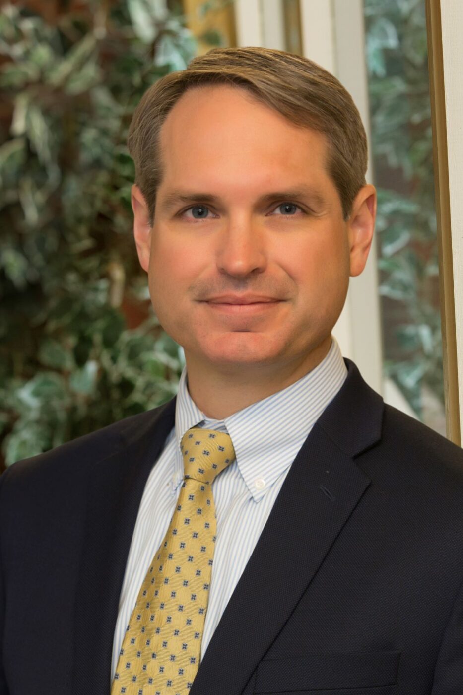
Director of Geological Services
Milwaukee, WI; Chicago, IL

Director of Geological Services
Milwaukee, WI; Chicago, IL
Ike, our Director of Geological Services, is a true renaissance man. He is licensed as a professional engineer and a professional geologist, in addition to being a licensed aircraft pilot. His interdisciplinary knowledge of engineering and geology, experience as a consultant, owner’s representative, and tunnel contractor is truly unique.
Ike’s tunnel experience includes design review, constructability, grouting, ground improvement, ground freezing, geotechnical instrumentation, rehabilitation, construction logistics, hyperbaric interventions, ground loss mapping and remediation. His broad knowledge, skill sets, and experiences, combined with his passion for solving geologic puzzles, provide him with a well-rounded, pragmatic approach that promotes project success.

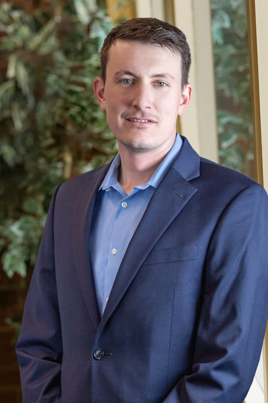
Geohazards Sector Leader
Laramie, WY

Geohazards Sector Leader
Laramie, WY
Dave is leader of our Geohazards Team. Dave specializes in geologic hazards assessment, subsidence risk evaluation, subsidence mitigation strategies, ground improvement, remote and geospatial analysis, hydrogeologic characterization, slope stability analysis, and geographic information sciences. He has worked on an assortment of civil and geologic projects relating to historic underground mine mitigation, trenchless tunnels, earthwork, dam assessment, road improvement and design, bridge improvement and design, engineered foundation materials, oil and gas exploration, geologic site characterization, geotechnical drilling and sampling, and lab testing/analysis.
Geotechnical Engineer
Laramie, WY

Geotechnical Engineer
Laramie, WY
Joel leads our Laramie, WY office and focuses on land subsidence mitigation and geotechnical engineering. He has a wide array of underground and civil works construction and management experience. His constructability analyses relies on more than seven years in the field managing, supervising, and constructing pipelines, structural concrete, roadways, and water treatment facilities prior to receiving a B.S. in Civil Engineering. Joel’s positive attitude ,great work ethic and construction knowledge make him capable of fulfilling a wide range of roles for almost any project.

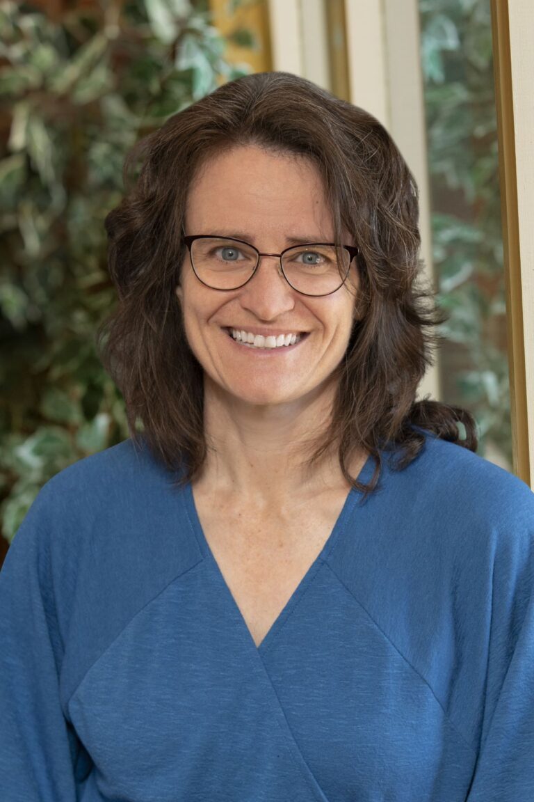
Subsidence Mitigation Specialist
Laramie, WY
Subsidence Mitigation Specialist
Laramie, WY
Melissa was formerly Program Principal and Mine Reclamation Project Manager with the Wyoming Department of Environmental Quality Abandoned Mine Lands Program. She enhances our capabilities through her extensive experience managing several multi-million dollar mine reclamation projects in Wyoming. She provides project oversight and assists with project design, groundwater research, and geologic interpretation. Melissa increases the value we provide to our AML clients and expands our role in subsidence mitigation nationwide. Melissa earned her BS in Geology with an emphasis on Hydrogeology from California State Polytechnic University and her MS in Geology with an emphasis on Structural Geology and Tectonics from University of Missouri. She’s a licensed Professional Geologist in Wyoming.