Project At-a-Glance
Post processing of GPS field data included:
- Data corrections from various reference stations
- Conversion of the surveyed field data into Esri shapefiles
- Re-projecting the corrected GNSS data into the appropriate coordinate system(s)
- Integrating the spatial data (shapefiles) into the existing geodatabase
- Applying attribution derived from field notes to the point features that were loaded into the geodatabase
Project Narrative
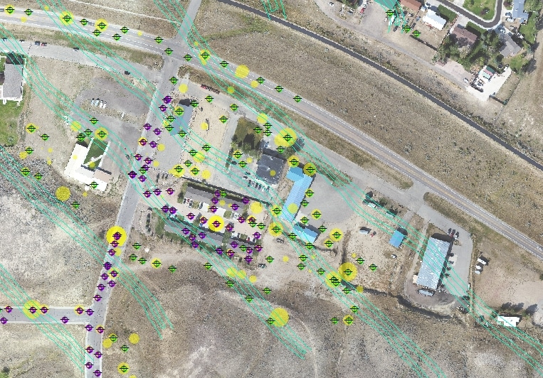
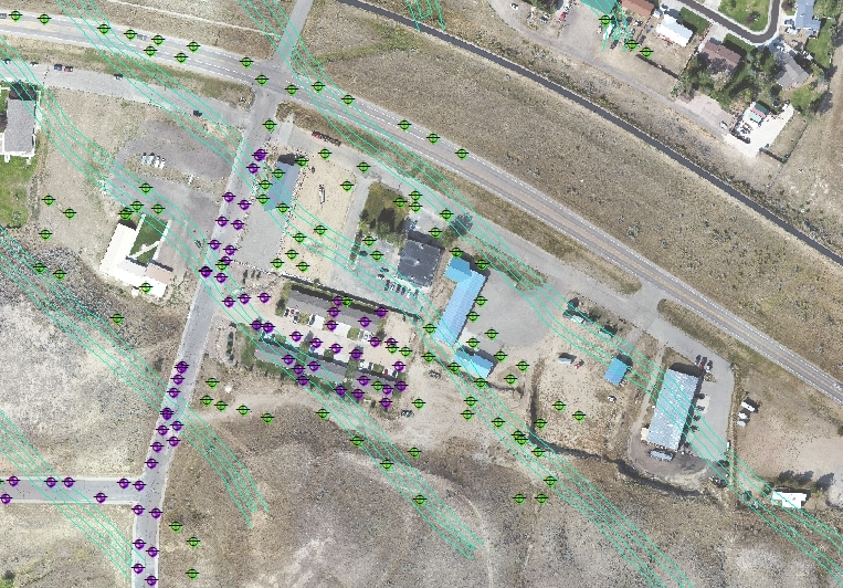
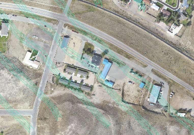
Brierley Associates’ GIS specialists have provided spatial analysis services on dozens of projects that utilize borehole data and other features that are collected in the field using geodetic surveying methods (GPS) and attribution obtained by our geologists and engineers. Our GIS specialists process this data using Esri software (GIS) on a daily basis. Various spatial analysis tasks include calculations and symbolization within the Esri geodatabase environment. Each day updated maps, figures, spreadsheets and reports are generated. Supporting maps and figures are created by our GIS specialists for Report of Investigations (ROI), construction reports, and bid documents for future projects. Post processing of GPS field data includes: data corrections from various reference stations, conversion of the surveyed field data into Esri shapefiles, re-projecting the corrected GNSS data into the appropriate coordinate system(s), integrating the spatial data (shapefiles) into the existing geodatabase, and applying attribution derived from field notes to the point features that were loaded into the geodatabase. Successful project delivery is a team effort and includes GIS Analysts, GPS Surveyors, and Spatial Data Coordinator who keeps the information flowing between the field crews, project leaders, engineers, and geologists.
Interested in Viewing Other Projects?